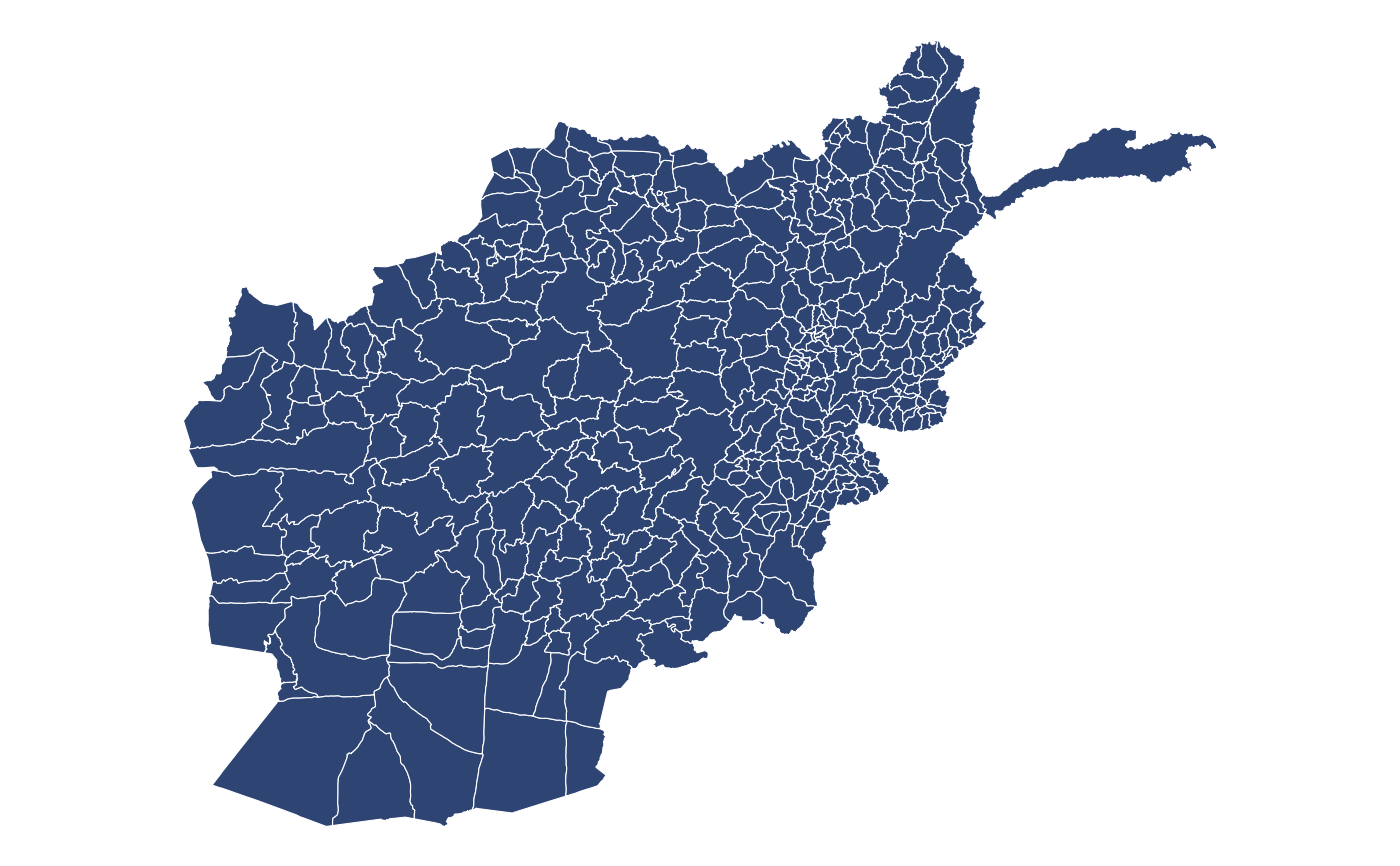
Afghanistan
afghanistan_zone.RdHealth district level sf data for Afghanistan.
Format
A Simple feature collection with 398 features and 4 fields:
- country
Country name
- zone
Zone name (health district)
- area
Zone area (m2)
- zone_display
Title case version of
zone
Source
geoBoundaries via humdata (2020).
Examples
ggplot2::ggplot(afghanistan_zone) +
  ggplot2::geom_sf(fill = '#2e4473',
                   color = 'white') +
  ggplot2::theme_void()