Load map
load_map.RdReturns a user-specified map in a either sf or tibble format.
Arguments
- country
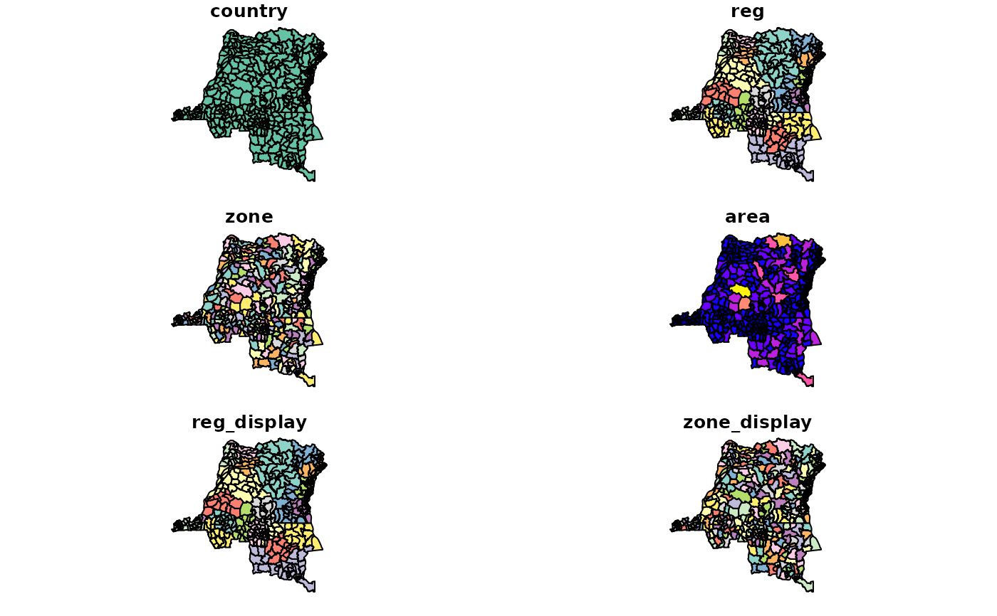
strCountry to load.- level
strLevel of geographic resolution to use, either : zone, reg (regional), nat (national). If a multicountry map is requested (such as 'world' or 'africa'),levelis ignored. Default is'zone'.- as
strType of output desired, either :'sf',sp', or'tibble', Default is'sf'`.